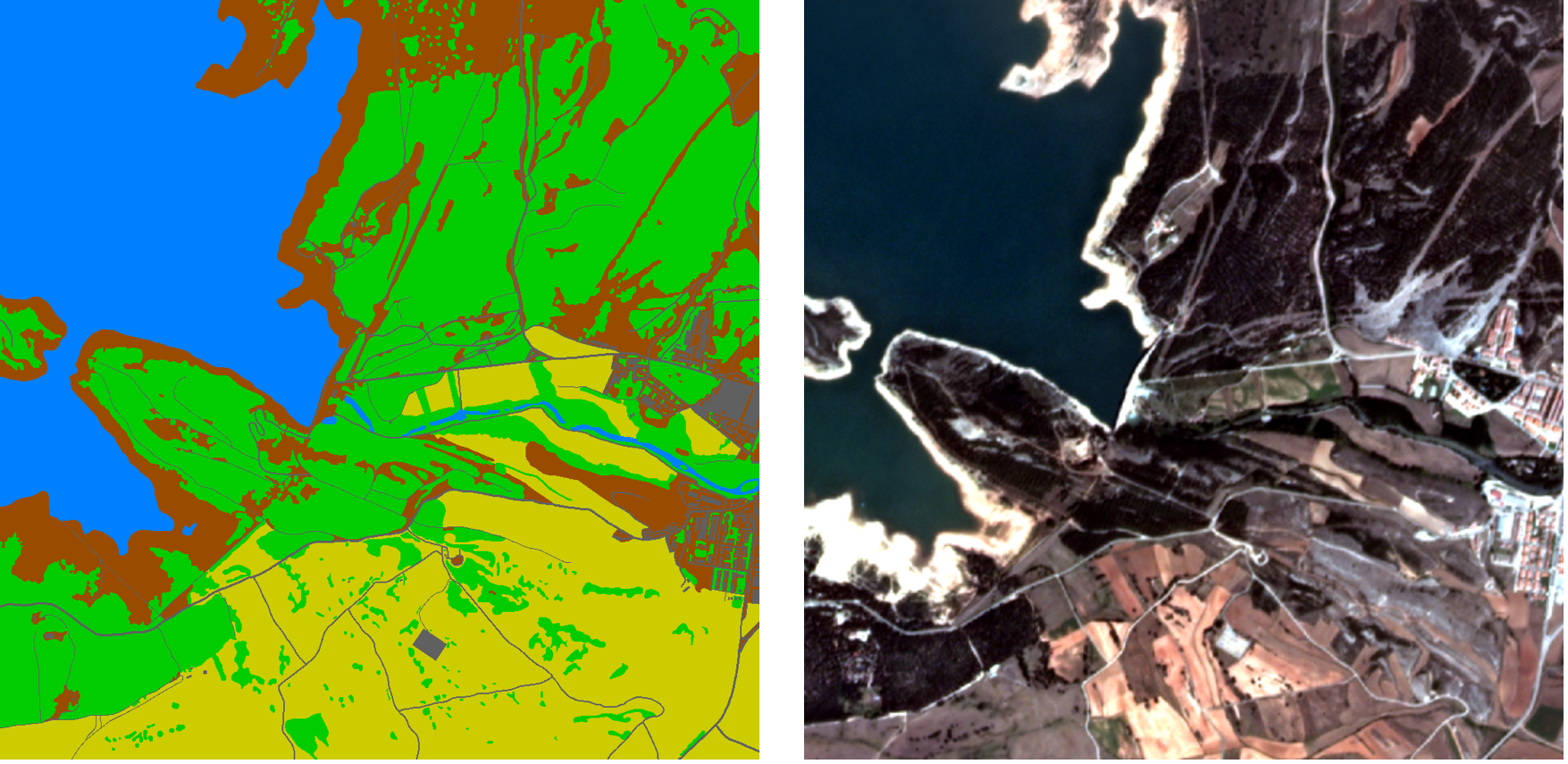

Satellite imagery contains significant clues for observing and perceiving the earth’s surface on a global scale. In recent times, deep learning techniques play an important role for automatically analyzing such data. Relevant applications cover geo-localization, time-series satellite imagery understanding, classification, and segmentation. Research papers and methods devised for this kind of data are subject to unique challenges compared to standard computer vision tasks/benchmarks. In this seminar, we provide an overview of common deep learning techniques, datasets and central works that employ satellite imagery.
Date: Wednesdays (10:00-11:00)
Location: Virtual event. Zoom link and password will be shared via email.
Lecturers: Prof. Dr. Laura Leal-Taixé and Aysim Toker.
ECTS: 5
SWS: 2
Students are supposed to register to the Matching-System. See the Matching-System FAQ for more details.
After the final matching is announced, we will send an email with further information.
Once the matching process is complete, you will be able to access the papers on the webpage.
TBD